Faroe Islands
The Faroes are a group of islands in the North Atlantic Ocean, about halfway from Iceland to Norway. Those who come to Iceland by the ferry Norröna of the faroese shipping company Smyril Line, also pass the archipelago of Faroe in the Northatlantic. The Icelandic airline Air Iceland also offers flights and short trips starting in Reykjavik.
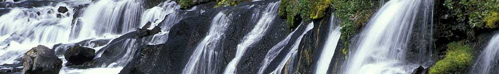
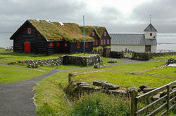
The archipelago consists of 18 islands, of which 16 are constantly inhabited and one island is temporarily inhabited. Like Greenland, the Faroe islands are an autonomic part of Denmark. Their landscape reminds on Ireland and some parts of Iceland. Also the climate is very similar to Iceland, however tends to be a little bit warmer and fairly windy. Desolate valleys, cliffs with screeching sea birds, lush fields with bleating sheep and idyllic farming and fishing villages are what the traveller finds here. Also in the small capital Tórshavn one can explore a lot. Historic buildings, interesting museums and pictorial houses are waiting for the visitor - surrounded by a rough and intact nature midst the ocean.
Key facts on the Faroes
The following table shows some basic facts about the Faroe Islands:
| Location (Tórshavn) | 62° north latitude |
| 06°47 west longitude | |
| Area | 1,395.74 square kilometers |
| Costline | 1.289 km |
| Highest mountain | Slættaratindur on the island Nord-Eysturoy (882 m) |
| Temperature | 6,5 °C (annual average) |
| Population: | 49.200 Einwohner |
| Capital | Tórshavn (12,600 inhabitants) |
| Population density | 34.5 inhabitants per square kilometers |
| Official language | Faroese, Danish |
| Monarch: | Margrethe II. |
| Currency | Faroese króna (Fkr.) |
| National holiday | 29. July |
| Country Symbol | FO |
| Calling code | + 298 |
Photo gallery: The Faroe Islands